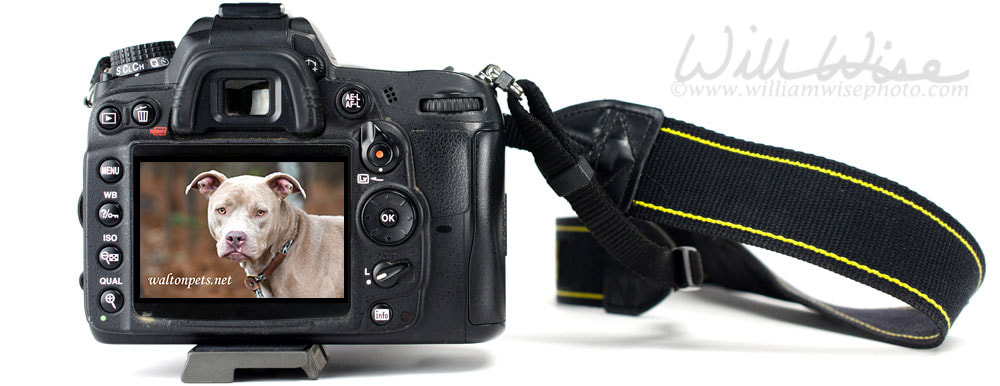
Animal Shelter Furtography is my collection of pet photography from the humane society animal shelter to find new homes dogs and cats needing rescue or adoption. The photographs are posted on several national pet adoption websites.
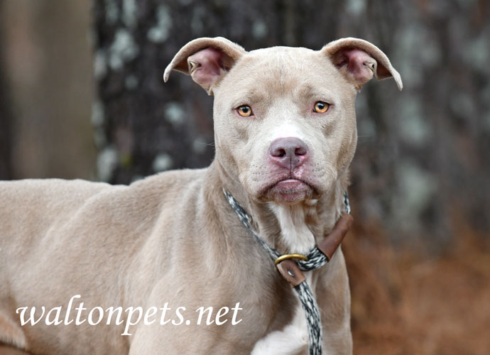
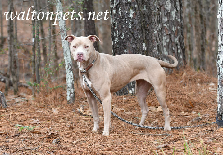
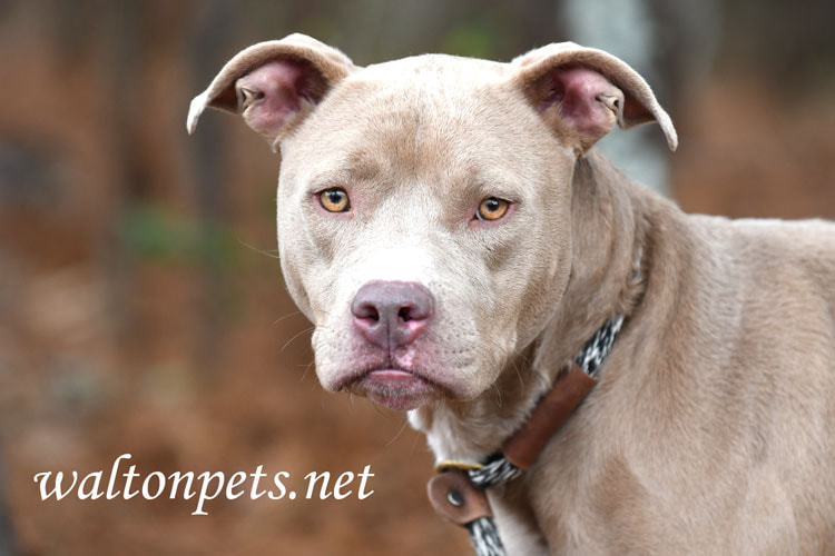
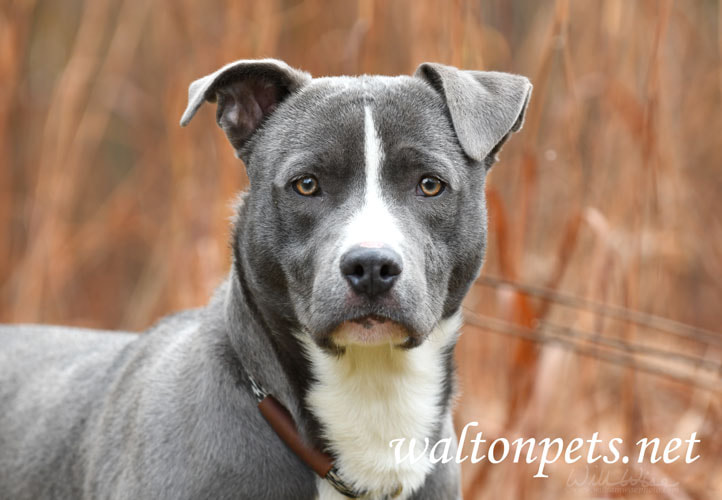
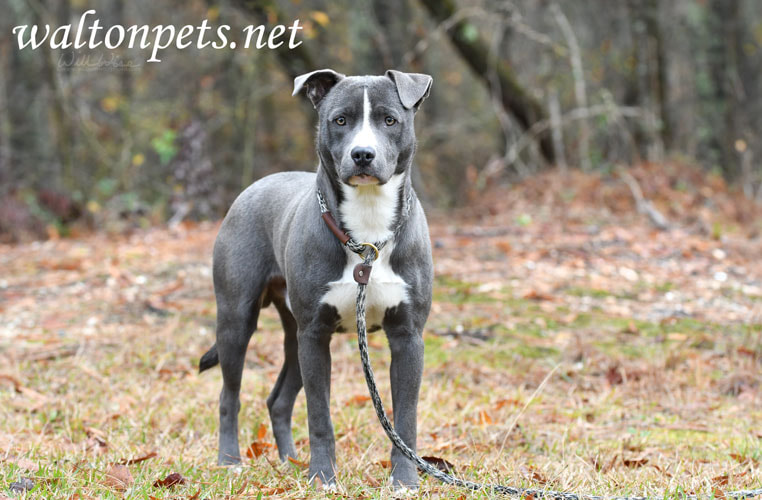
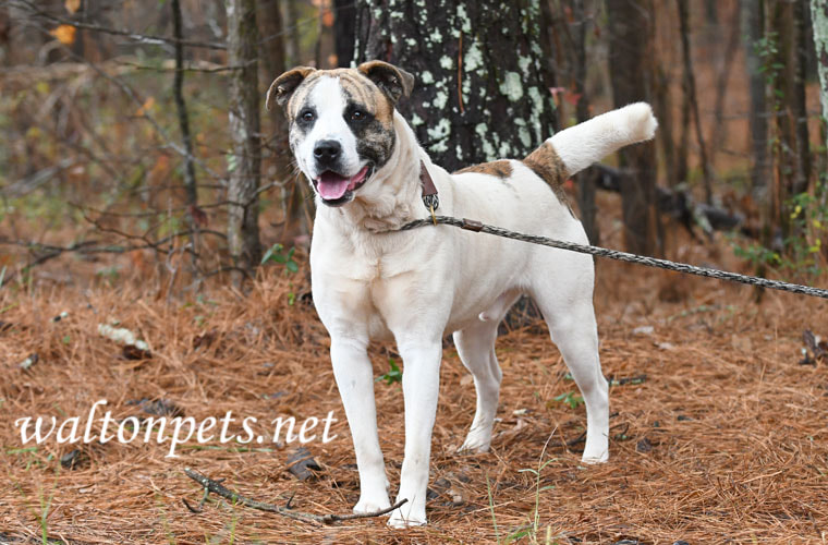
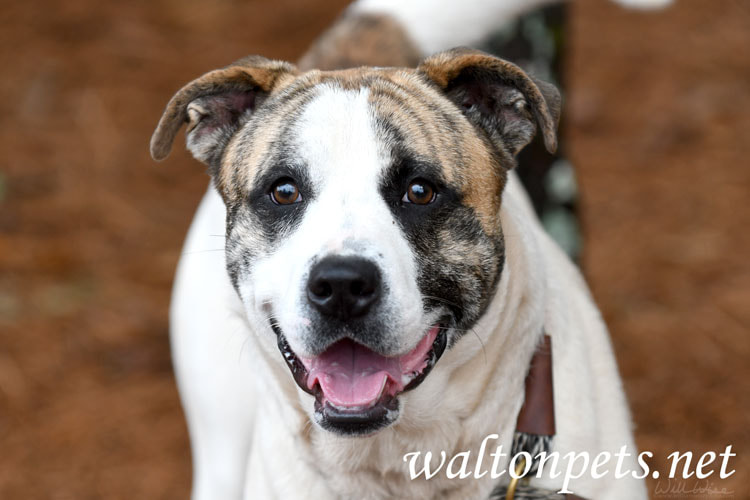
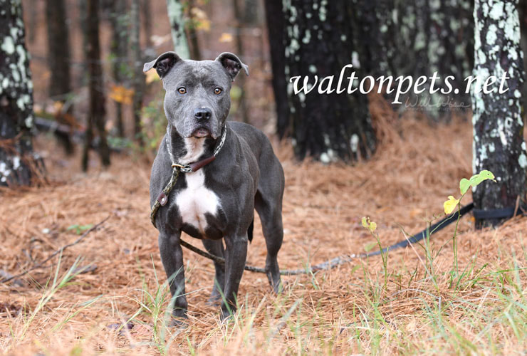
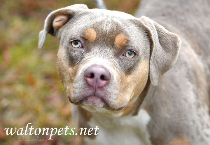
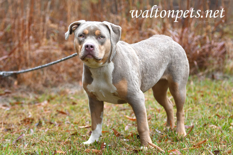
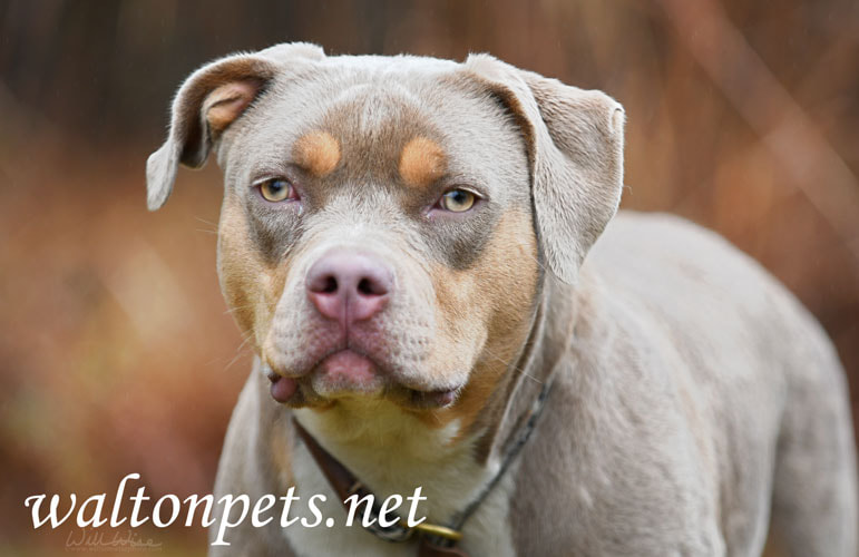
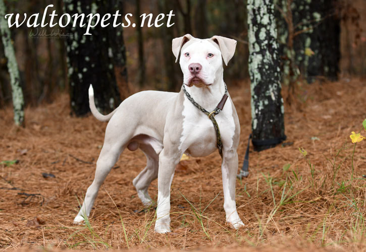
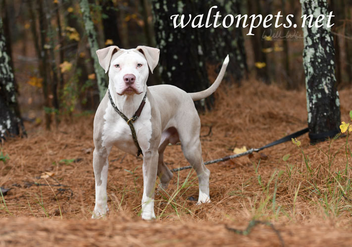
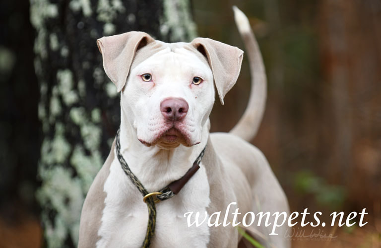
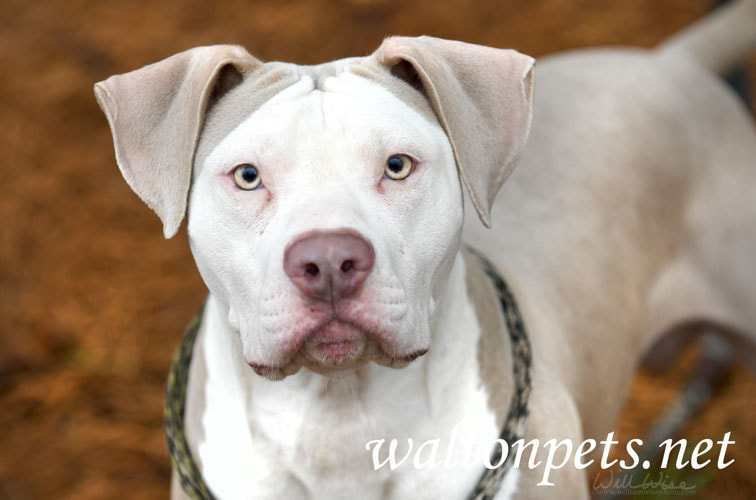
"Crystal" was a young Pitbull Terrier mixed dog that was surrendered to the animal shelter by her owner. We had an outdoor pet adoption photo session on December 21, 2022 and she was finally rescued on January 6, 2023!
0 Comments
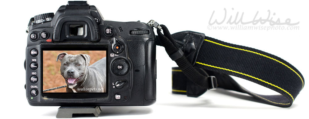
Animal Shelter Furtography is my collection of pet photography from the humane society animal shelter to find new homes dogs and cats needing rescue or adoption. The photographs are posted on several national pet adoption websites.
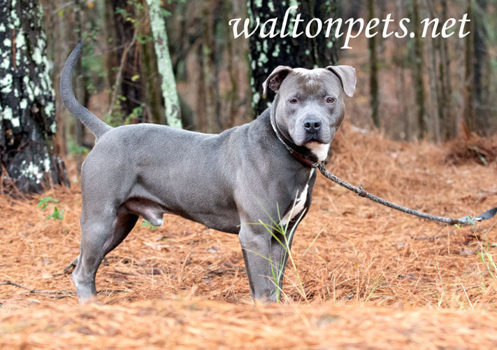
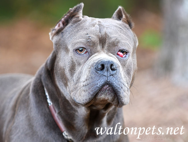
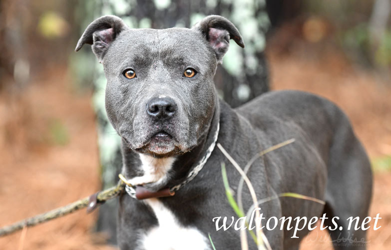
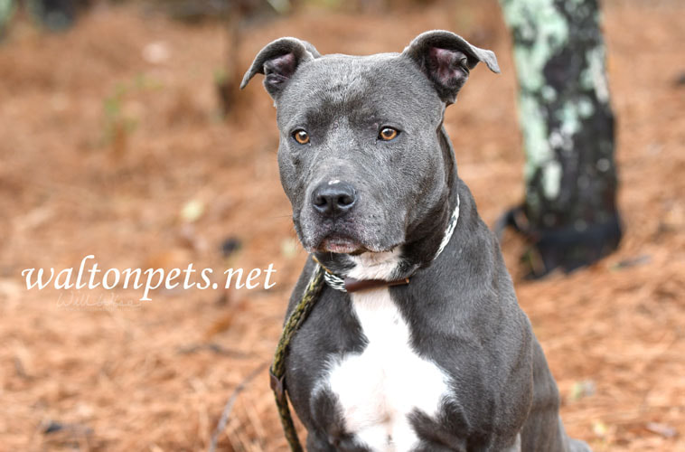
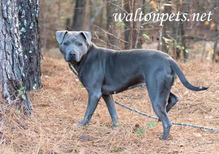
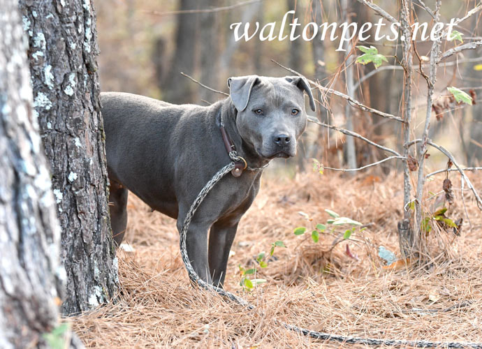
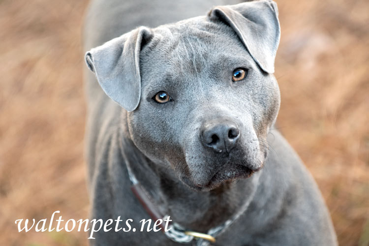
"Yeti" was a gorgeous blue American Pitbull Terrier picked up by an animal control officer on December 4, 2022. We had an outdoor pet adoption photography session on December 8. His owner never came to claim him but he was finally rescued nearly a month later, on January 3, 2023!
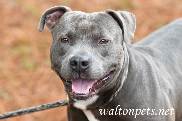
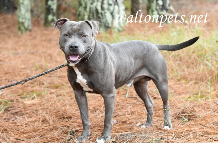
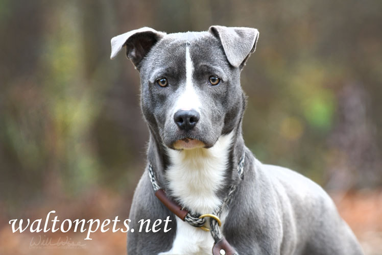
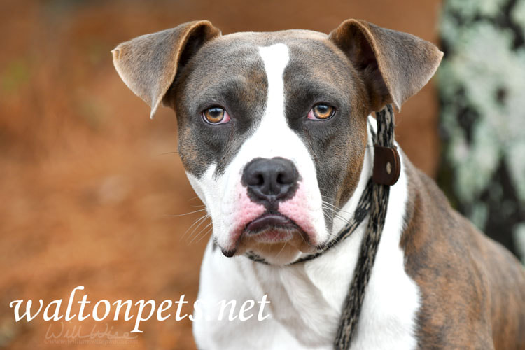
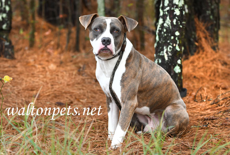
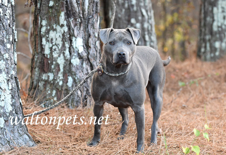
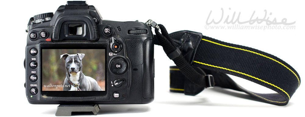 Animal Shelter Furtography is my collection of pet photography from the humane society animal shelter to find new homes dogs and cats needing rescue or adoption. The photographs are posted on several national pet adoption websites. "Frost" was a young male blue Pitbull Terrier mix dog that came into the animal shelter after his owner abandoned him at their apartment. I had an adoption photo session with Frost on December 8 and he was finally adopted into a new home on December 27, 2022!
Even though the cheerful holiday season is here, there are still many that will have a Blue Christmas. Some of those that won’t sing I’ll Be Home for Christmas are the many dogs in our nation’s animal shelters. I have worked in animal welfare for more than two decades now, and I know that the surrender of pets doesn’t stop just because of the holidays.
So why not make it a Blue Christmas - a Blue Pitbull Christmas! It seems there is always a blue Pitbull or two in the shelter where I do the adoption photography. Blue American Pitbull Terriers are a very popular breed and color, so unfortunately people breed too many of them in order to sell them. Sadly, many end up in shelters once they get past that adorable puppy stage. Pitbull Terriers are very smart dogs and they can be easily and quickly trained. Their muscular build makes them great for people that love outdoor activities such as hiking or running. And the blue Pitbulls are so gorgeous with their sleek, steel-colored coats, they’ll always turn heads. And if you live alone, you’ll have a much greater sense of security having a dog share the house with you! So if you’ll be home for the holidays, why not bring a Blue Pitbull home for the holidays too? I’m sure you have an animal shelter or humane society in your city. And chances are that there’s a pitbull or two waiting there to be adopted – maybe even a gorgeous blue one! So make this a Blue Christmas and adopt a blue American Pitbull Terrier! 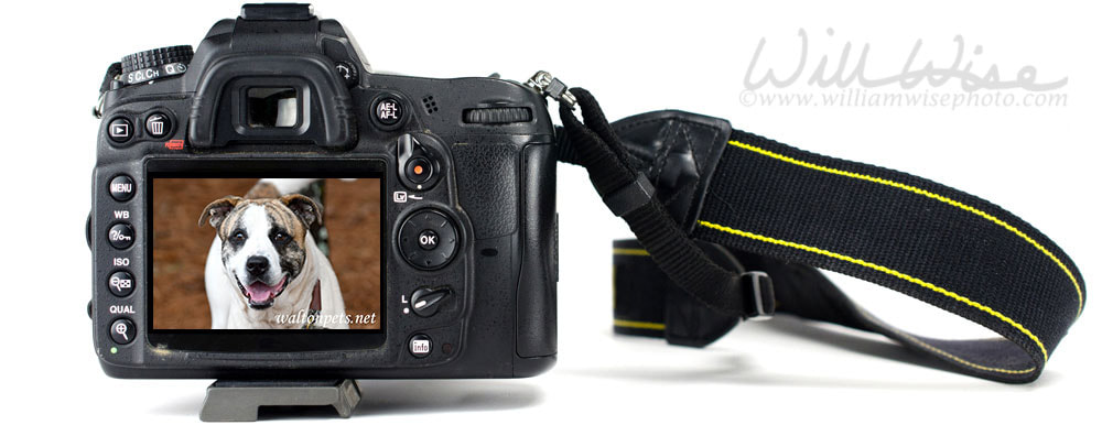
Animal Shelter Furtography is my collection of pet photography from the humane society animal shelter to find new homes dogs and cats needing rescue or adoption. The photographs are posted on several national pet adoption websites.
"King" was surrendered to an animal control officer by his owner on December 7, 2022. We went outside together for his adoption photography session the next day. He was all play and had a great, happy personality. He was adopted into a new home just in time for Christmas on December 21, 2022!
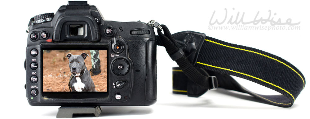
Animal Shelter Furtography is my collection of pet photography from the humane society animal shelter to find new homes dogs and cats needing rescue or adoption. The photographs are posted on several national pet adoption websites.
"Dickens" was a male bluenose Pitbull Terrier that was picked up stray by an animal control officer on November 30, 2022 and brought to the animal shelter. I did his adoption photography session the day he came in, but it took a few weeks for him to make it out to safety. He was rescued on December 16, 2022!
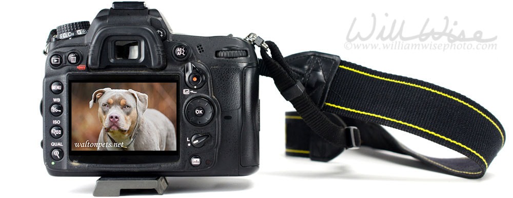
Animal Shelter Furtography is my collection of pet photography from the humane society animal shelter to find new homes dogs and cats needing rescue or adoption. The photographs are posted on several national pet adoption websites.
"Delilah" was a very cute and stocky Pitbull and Bulldog mix surrendered to the animal shelter by her owner. We had some fun romping and playing during her adoption photography session on December 6, 2022. She was rescued from the shelter on December 16, 2022!
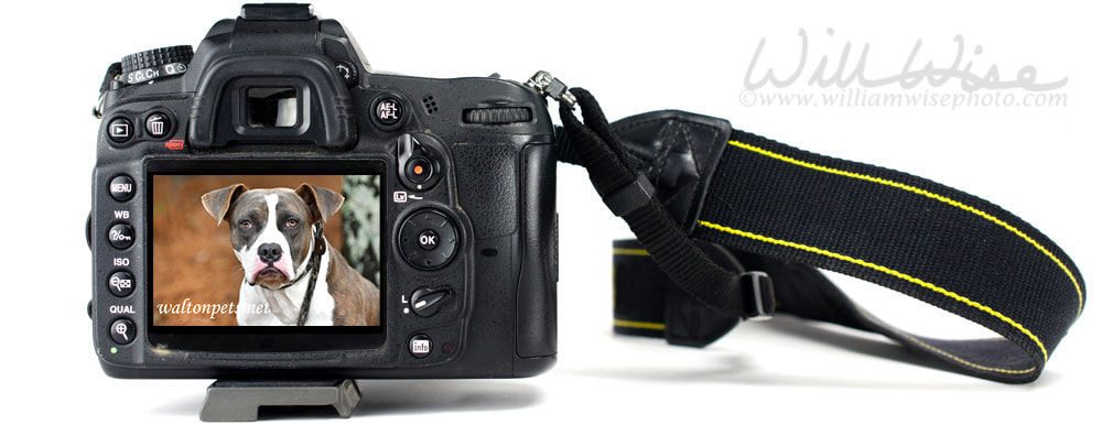 Animal Shelter Furtography is my collection of pet photography from the humane society animal shelter to find new homes dogs and cats needing rescue or adoption. The photographs are posted on several national pet adoption websites. "Marley" was a quiet Boxer and American Bulldog mix dog that was impounded by an animal control officer when his owner was arrested. We did his outdoor adoption photography session together on December 8, 2022 and he was bailed out of the shelter by the owner's family on December 16, 2022.
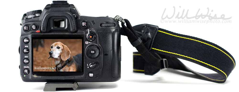
Animal Shelter Furtography is my collection of pet photography from the humane society animal shelter to find new homes dogs and cats needing rescue or adoption. The photographs are posted on several national pet adoption websites.
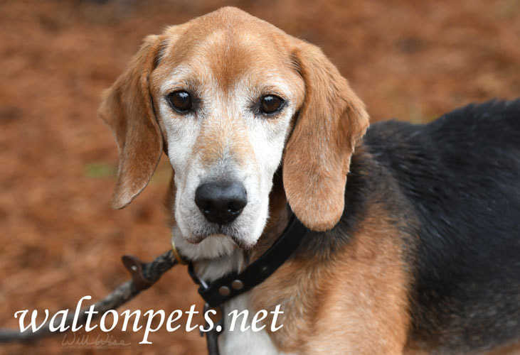
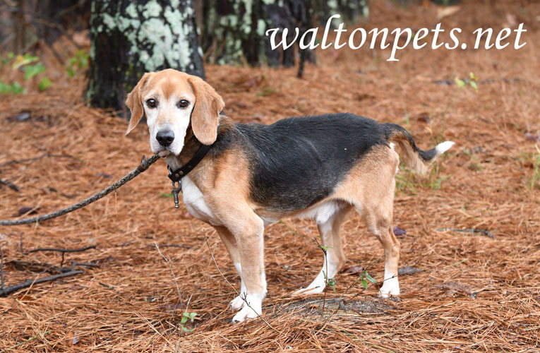
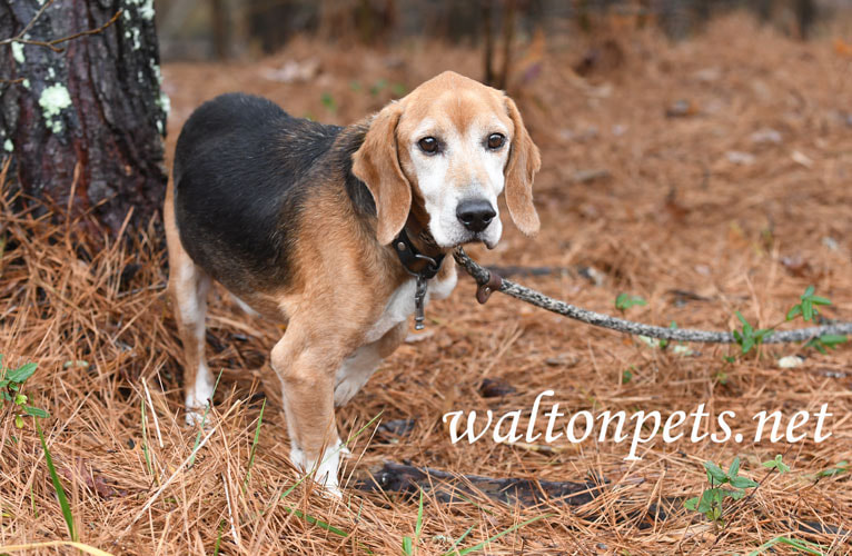
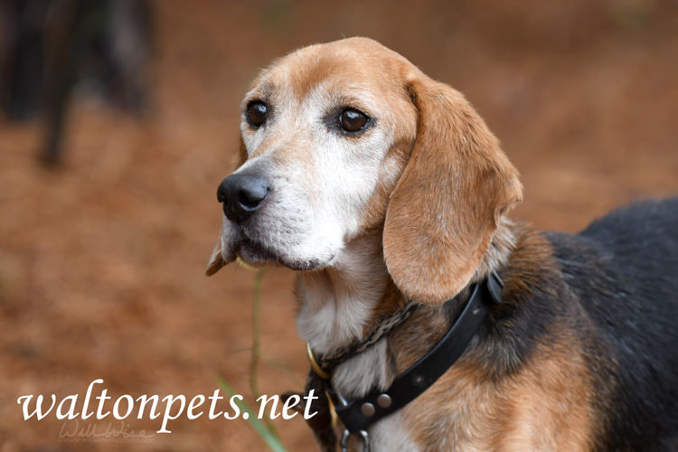
"Rudolph" was an older Beagle dog that was turned in stray to the animal control shelter. Poor guy was so thin and lethargic. But after a few days of TLC and good food, he was happy and bouncing around. I did his pet adoption photo session on December 6, 2022 and he was rescued on December 14, 2022... a home in time for the holidays!
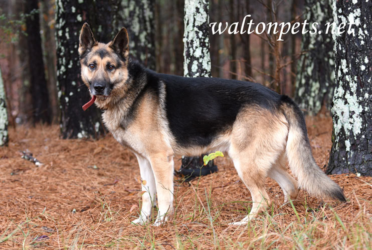
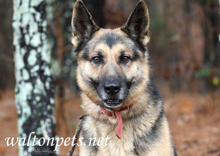
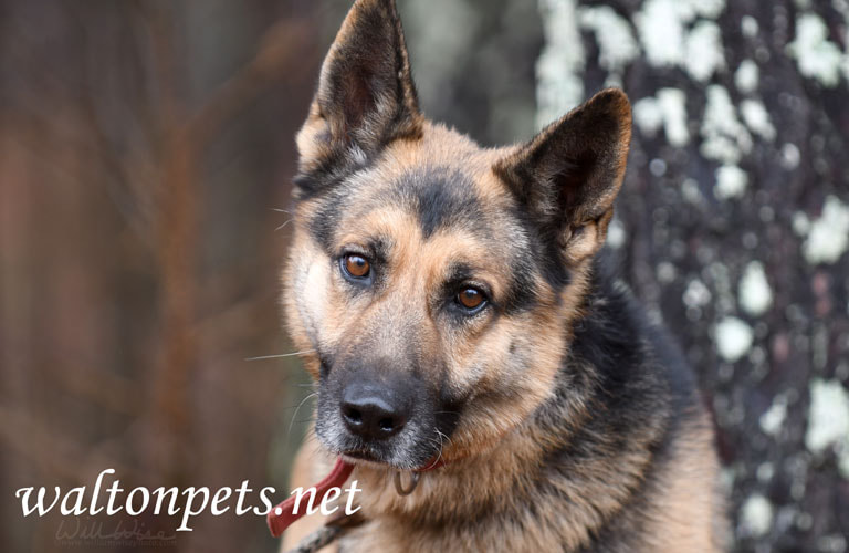
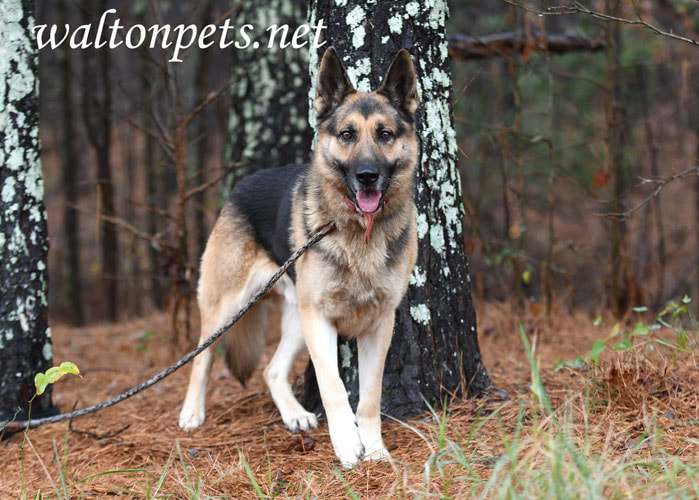
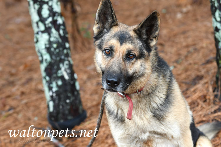
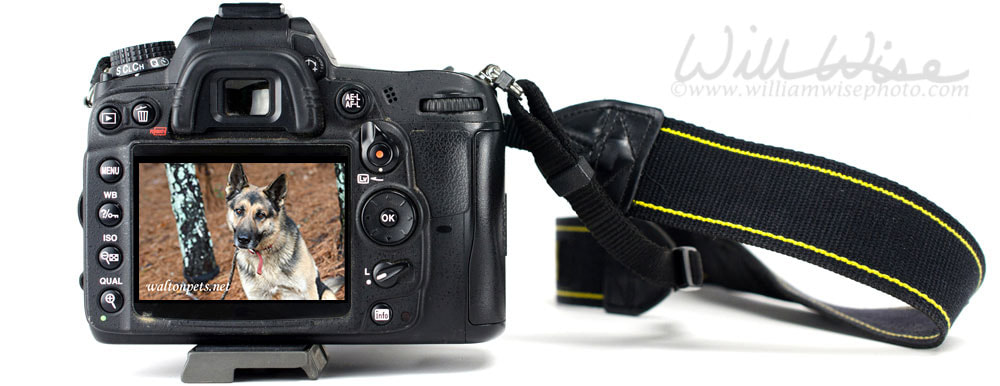 Animal Shelter Furtography is my collection of pet photography from the humane society animal shelter to find new homes dogs and cats needing rescue or adoption. The photographs are posted on several national pet adoption websites. "Gunner" was a handsome German Shepherd Dog that was picked up stray by an animal control officer on December 6, 2022. He was reunited with his family the next day when they saw his photographs on the animal shelter's adoption website! 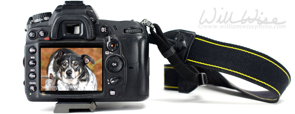
Animal Shelter Furtography is my collection of pet photography from the humane society animal shelter to find new homes dogs and cats needing rescue or adoption. The photographs are posted on several national pet adoption websites.
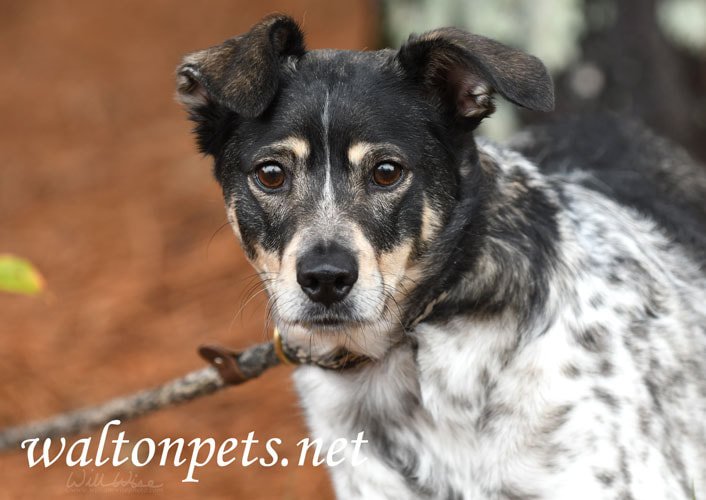
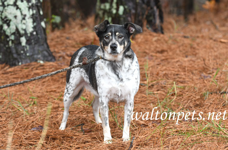
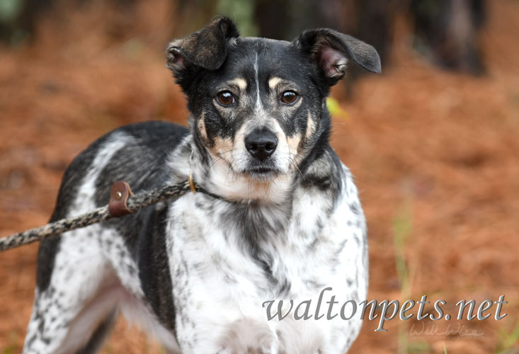
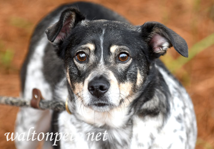
"Rocky" was a cute and quite Australian Cattledog Heeler mix surrendered to the animal shelter by his owner. I did his adoption photography session on December 6, 2022 and he was adopted the same day!
Animal Shelter Furtography is my collection of pet photography from the humane society animal shelter to find new homes dogs and cats needing rescue or adoption. The photographs are posted on several national pet adoption websites.
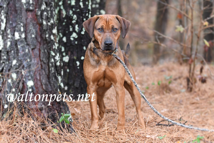
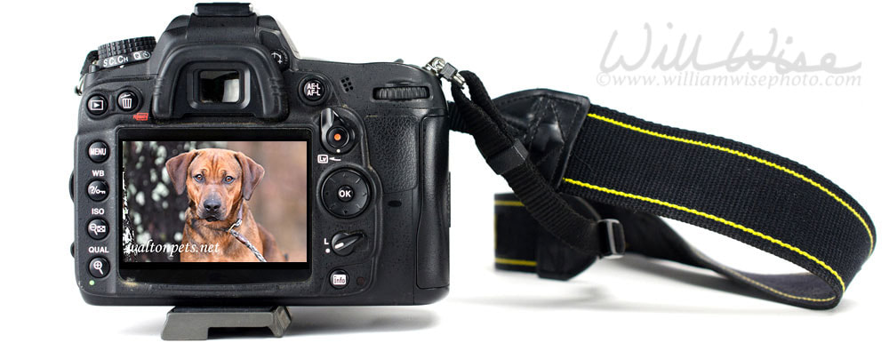
"Red" was a very happy hound that was surrendered to the animal control shelter by his owner on November 21, 2022. I had the pleasure of doing his adoption photography session on November 30, 2022. It took a while, but he was finally rescued on December 5, 2022!
Animal Shelter Furtography is my collection of pet photography from the humane society animal shelter to find new homes dogs and cats needing rescue or adoption. The photographs are posted on several national pet adoption websites.
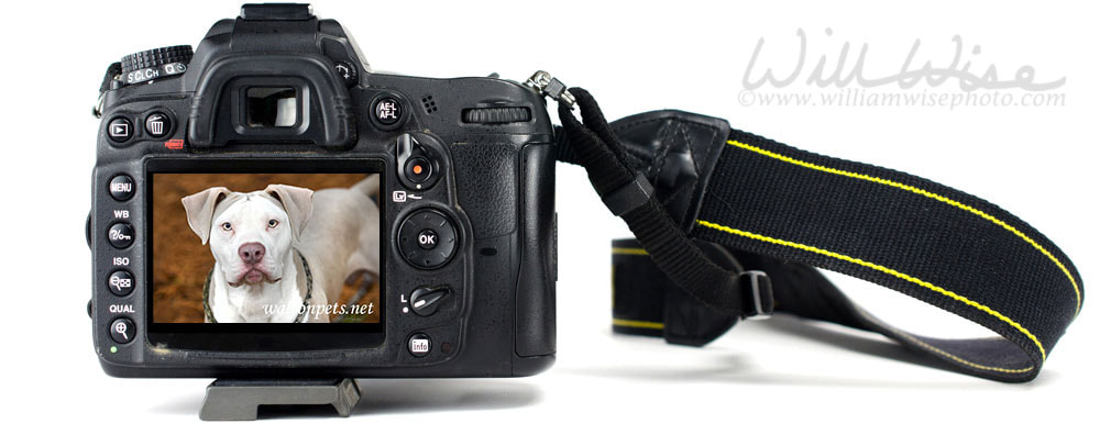
"Blue" was a handsome young American Bulldog and Pitbull Terrier mix that was surrendered to the animal control shelter by his owner. I did his adoption photography session on November 30, 2022 and he was rescued from the animal shelter on December 5, 2022!
A note from his adopter:
Update on Ghost - He is doing very well. He weighs 62lbs now, was 56lbs per vet records when he got neutered. We are working on his jumping, his mouthing and pulling on the leash. He is a 6 month old stuck in a 1 yr old body, very rambunctious, but nothing we cannot handle. We are also working with him on socialization with people. Currently, he does not like anyone other than myself and my fiancé in the home. We have to take him outside to meet new people before they come in, but that takes about 10-15mins for him to warm up to someone new. Once he meets outside, we will walk into our home and he is still a little uneasy when they enter the home, but no aggression. Again, we are working on this with him. Since he received his vaccines yesterday, I brought him to work with me and he is doing very well so far. Hasn't met a stranger at the Animal Shelter (no worries, I have my own office and he has roam of that). He is a great cuddle bug at night, but when it is time to kennel him for bedtime, he starts crying and will pout, but once in the kennel he falls asleep fast. All in all, we have a lot of training to do with him and only having him in our care for almost 2 weeks, he has learned some new commands. We know this is a work in progress and we are following the 3's, 3 days-3weeks-3months. We know we needed Ghost in our lives and Ghost needed us in his life. Thank you again for letting us adopt him. I have attached some photos of Ghost. 
Animal Shelter Furtography is my collection of pet photography from the humane society animal shelter to find new homes dogs and cats needing rescue or adoption. The photographs are posted on several national pet adoption websites.
"Palua" was surrendered to the animal shelter by her owner on November 17, 2022. She was rescued by Paws in the Cookie Jar Rescue on November 29, 2022!

Animal Shelter Furtography is my collection of pet photography from the humane society animal shelter to find new homes dogs and cats needing rescue or adoption. The photographs are posted on several national pet adoption websites.
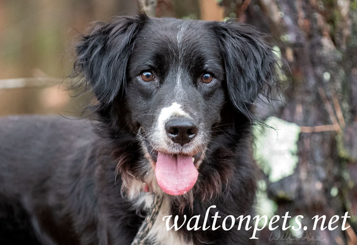
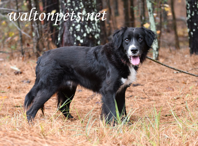
"Scooter" was a senior Border Collie mix breed dog surrendered to the animal shelter by his owner. I had the privilege of doing his adoption photos on November 30, 2022.
|
Categories
All
Archives
January 2025
|
|
All content is ©williamwisephoto.com. Please don't steal images. My images are available at dreamstime.com. Stock sales go into the shelter photography program.
|
In December 1993 I came to know the Designer and Creator of this wonderful planet and its creatures: Jesus Christ.
|
Donations help support the animal shelter adoption photography equipment and adoption website hosting and domain fees. Thanks for your support!
|
