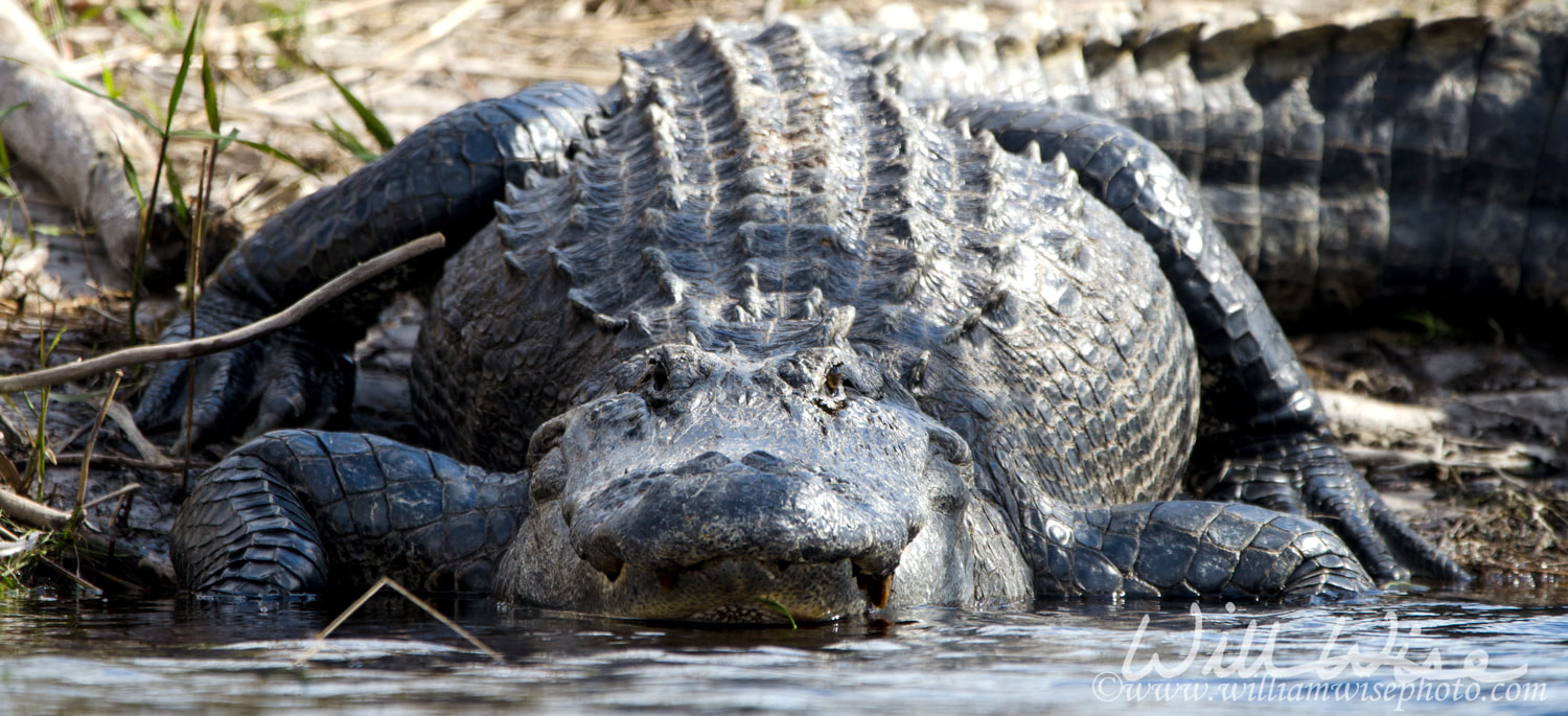
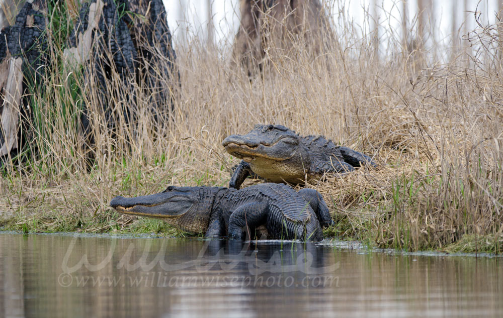
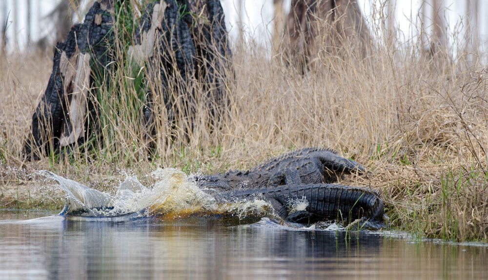
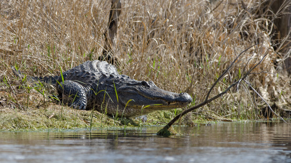
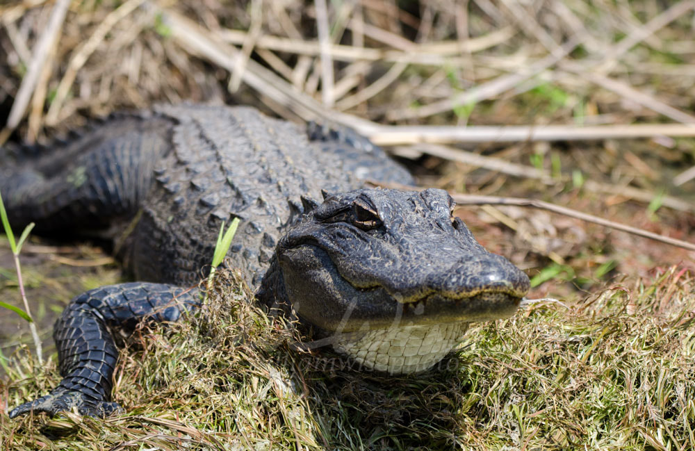
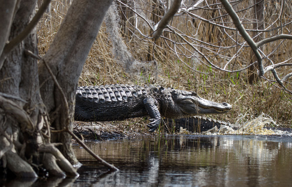
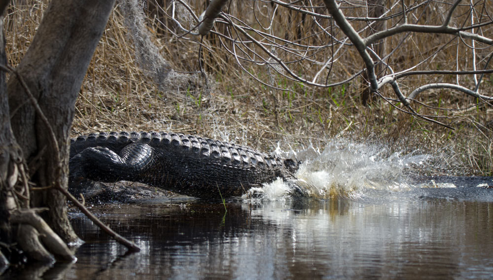
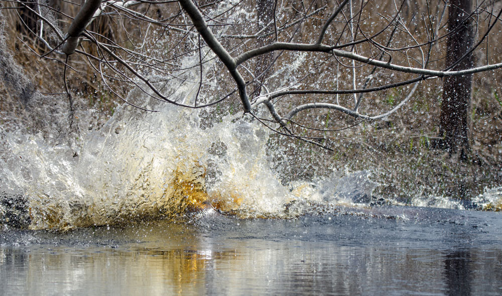
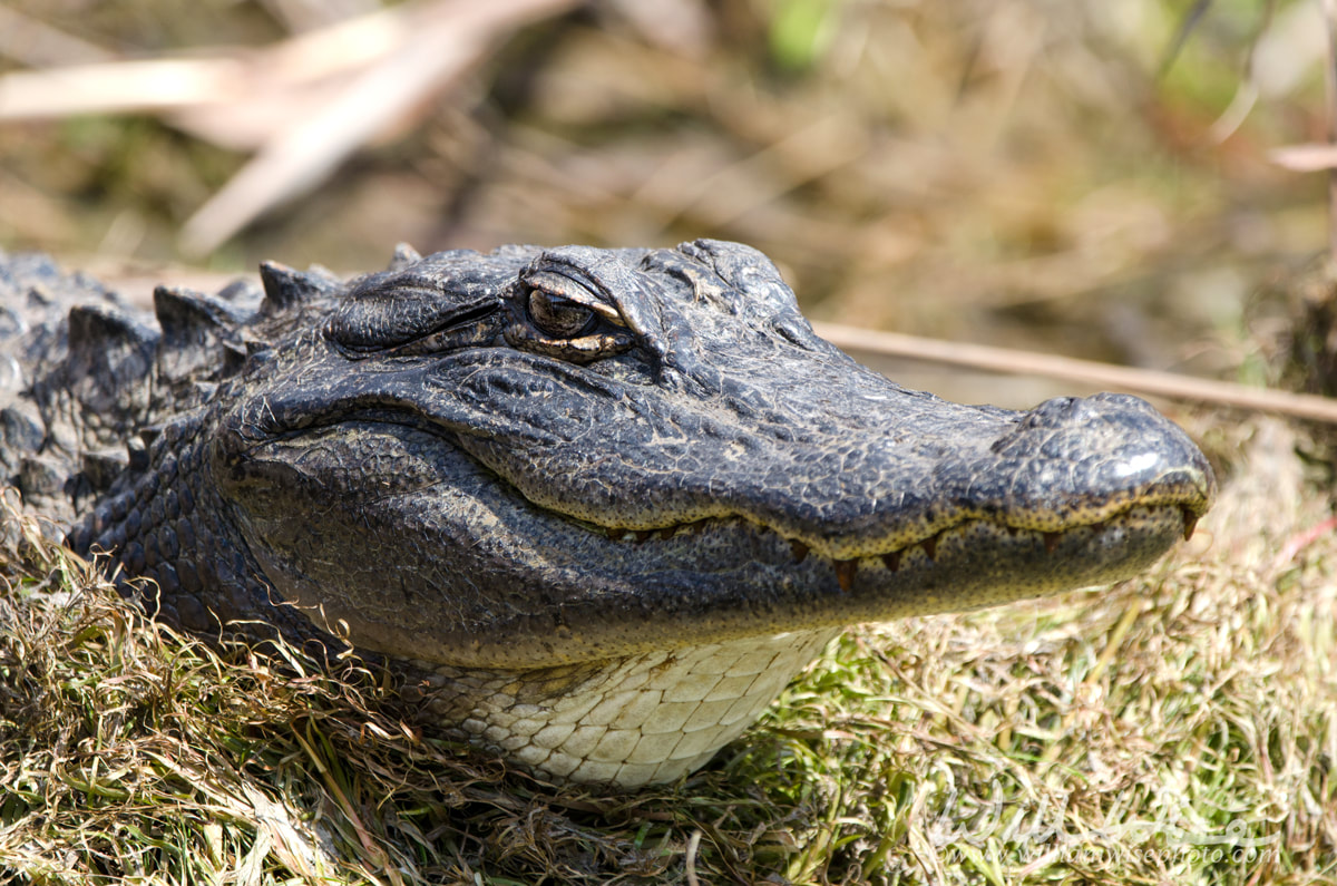
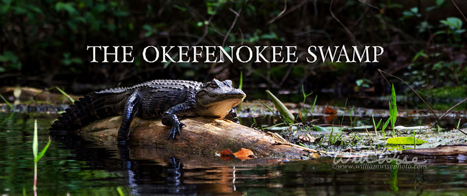
 Okefenokee Photography by William Wise. A nature photo journal exploration of Georgia's Okefenokee Swamp, the Land of Trembling Earth, one of the largest blackwater swamps in North America. The alligators, birds, snakes and wildlife of Okefenokee National Wildlife Refuge and Stephen C Foster State Park. -- "What a wildly wonderful world, God! You made it all, with Wisdom at Your side, made earth overflow with your wonderful creations." Psalms 104 The Message Sunday, 12:45 PM - Compared to the challenging navigation through The Narrows (brown trail), the paddling became much easier. The strong current caused by the low water levels carried us quickly through Mixon’s Hammock and into the area named The Sill. The Suwannee River Sill Recreation Area is a man-made canal built in 1960 with dams to control the water levels. The purpose was to maintain water levels during drought and thereby reduce the chance of wildfires. However, the project failed in that goal, for it had no real effect on the water levels throughout the swamp. However, The Sill is a popular recreation area, primarily for fishing. Because the man-made canal was wide and straight, it was also somewhat less interesting than some of the deeper areas of the swamp. Part of the suspense of the cypress forests is the wondering expectation of what may be around the next bend. But on the Sill, the view remains unobstructed for quite a distance, revealing that nothing too exciting is awaiting your arrival. However, some very large gators could be seen diving into the waters as our canoe approached. Going up The Sill, the trolling motor was set on the highest speed to battle the current and the wind that were both attempting to impede our passage. Fast flowing streams of rushing water were draining off the prairie into the Sill to further empower the current against our progress. Our going was so slow, at one point we were even overtaken by four walkers on the left bank. Approximately halfway up the Sill, we attempted to follow the fork of the brown trail as it continues towards Cravens Hammock. I had desired to overnight at the shelter, but was told before our departure that it was not accessible due to low waters. And they were right. Not even a quarter mile off The Sill we encountered low water and downed trees hampering our passage. Not wanting to be beaten, I tried to pull loose a dam of limbs, branches and debris choking the trail. But prying with my oar, all I managed to do was stir a bunch of fire ants into the water and then splash Amanda, arousing her frustration. I gave up the attempt when I accidentally splashed her a second time. We back-tracked the short distance and continued further up The Sill. Our destination: Pine Island. It seemed there must be something there, for someone had posted the GPS coordinates on the internet. The road from the day-use recreation area having ended, the last several miles of The Sill were more secluded from other visitors, but still a wide, unnatural looking, man-made canal. And upon reaching Pine Island, we found… nothing. No place to get out of the canoe and stretch our legs. The canal just came to an end in a shallow pool of Maidencane. We took a few minutes to eat our lunch of summer sausage, cheese whiz and crackers. The sun climbed higher as we ate our lunch, encouraging the gators to take to their sunning spots along the banks. We had noticed many patches of mud and pressed grasses on our journey up The Sill. Now, those same patches were occupied by “The Monsters of The Sill.” The boring Sill had somewhat redeemed itself by presenting us with the spectacle of some really big gators; a few of which made dramatic, tidal-wave producing dives into the water as we passed by.
0 Comments
Your comment will be posted after it is approved.
Leave a Reply. |
Categories
All
Archives
September 2025
|
|
All content is ©williamwisephoto.com. Please don't steal images. My images are available at dreamstime.com. Stock sales go into the shelter photography program.
|
In December 1993 I came to know the Designer and Creator of this wonderful planet and its creatures: Jesus Christ.
|
Donations help support the animal shelter adoption photography equipment and adoption website hosting and domain fees. Thanks for your support!
|
